 Métacatalogue
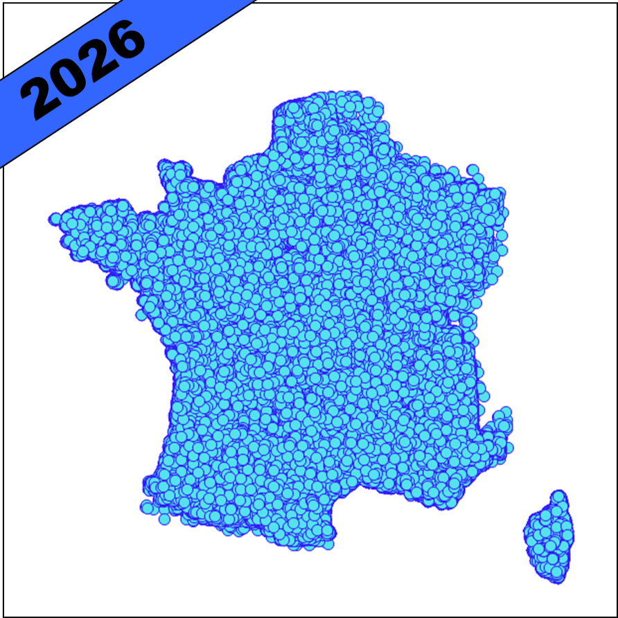
Nœuds hydrographiques - Métropole 2026 - BD Topage®
Jeu de données des nœuds hydrographiques de France métropolitaine BD Topage® version 2026
Point remarquable du réseau hydrographique. La plupart des nœuds hydrographiques correspondent à l'extrémité d'un tronçon hydrographique, à l'exception des nœuds symbolisant le franchissement à niveaux séparés de tronçons hydrographiques sans interaction entre eux.
Correspond au concept « HydroNode » d'Inspire.
Simple
- Date (Publication)
- 2026-06-22
- Edition
-
2026
- Citation identifier
- http://www.sandre.eaufrance.fr/?urn=urn:sandre:donnees:NoeudHydrographique:FXX:::ressource:2026:topage:2.2:html
- Presentation form
- Digital map
- Name
-
BD Topage 2026
- Status
- Completed
- Point of contact
-
Organisation name Individual name Electronic mail address Role Institut national de l’information géographique et forestière (IGN)
Custodian Office Français de la Biodiversité (OFB) - Information Géographique sur l'Eau
Custodian
- Maintenance and update frequency
- Annually
- Metadata author
-
Organisation name Individual name Electronic mail address Role SANDRE
Custodian
- Theme
-
-
eaux de surface
-
BD Topage
-
hvd
-
- Place
-
-
métropole
-
france
-
-
High-value dataset categories
-
-
Observation de la terre et environnement
-
- Use limitation
-
Données ouvertes
- Access constraints
- Other restrictions
- Other constraints
- Pas de restriction d’accès public
- Use constraints
- Other restrictions
- Other constraints
-
Licence Ouverte 2.0
https://www.etalab.gouv.fr/wp-content/uploads/2017/04/ETALAB-Licence-Ouverte-v2.0.pdf
- Spatial representation type
- Vector
- Denominator
- 5000
- Denominator
- 50000
- Distance
- 1 m
- Language
- Français
- Character set
- UTF8
- Topic category
-
- Inland waters
))
- Topology level
- Geometry only
- Geometric object type
- Curve
- Distribution format
-
Name Version ESRI Shapefile
inapplicable
GeoJSON
inapplicable
OGC GeoPackage
inapplicable
Digital transfer options
- OnLine resource
- Hierarchy level
- Dataset
Domain consistency
- Name of measure
-
Conceptual schema compliance
- Name of measure
-
Value domain conformance
- Date / Time
- 2026-05-19T00:00:00
Conformance result
- Title
-
Diffusion du référentiel Hydrographique (BD TOPAGE®) aux formats géographiques v.2.2
- Date (Creation)
- 2026-04-13
- Citation identifier
- http://id.eaufrance.fr/scg/topage/2.2
- Cited responsible party
-
Organisation name Individual name Electronic mail address Role SANDRE
Author
- Pass
- Yes
Conformance result
- Title
-
COMMISSION REGULATION (EU) No 1089/2010 of 23 November 2010 implementing Directive 2007/2/EC of the European Parliament and of the Council as regards interoperability of spatial data sets and services
- Date (Publication)
- 2010-12-08
- Pass
- No
Conformance result
- Title
-
INSPIRE Data Specification on Hydrography - Guidelines v 3.0.1
- Date (Publication)
- 2010-11-23
- Edition date
- 2014-04-17
- Pass
- No
- Statement
-
Les noeuds hydrographiques BD TOPAGE® 2026 sont issus du jeu de données noeuds hydrographiques du thème hydrographique de la BD TOPO® édition de décembre 2025.
Metadata
- File identifier
- ba4b1a7e-ec81-4440-8604-4b8cb79d69af XML
- Metadata language
- Français
- Character set
- UTF8
- Parent identifier
-
BD Topage® - Métropole 2026
37c9509d-4ee4-4723-97ad-035a859215b3
- Hierarchy level
- Dataset
- Date stamp
- 2026-06-19T15:20:56.001Z
- Metadata standard name
-
ISO 19115:2003/19139
- Metadata standard version
-
1.0
- Metadata author
-
Organisation name Individual name Electronic mail address Role SANDRE
Point of contact
)))